Five steps from a plain-language question to a ranked, timed answer you can defend.
The question is parsed and routed. The language model decides which engines the question needs - it never computes an answer itself.
Deterministic engines run against your live data - operations, geography, signals. Physics, statistics, and economics; each versioned, each tested.
The network engines follow the consequence through every dependency, with time-to-impact on each step - not just what is affected, but when.
One narrative for the board, exposure detail for the risk team, a switching plan for operations. Same figures underneath, every time.
Every figure names the engine that computed it, the inputs it used, and the assumptions it made. The session exports as an audit your own statisticians can check, line by line. Same question, same inputs, same engine version tomorrow: same figures.
While the line is down:
Reroute through the western tie-in first - 14 km upstream, it carries 70% of flow through the repair.
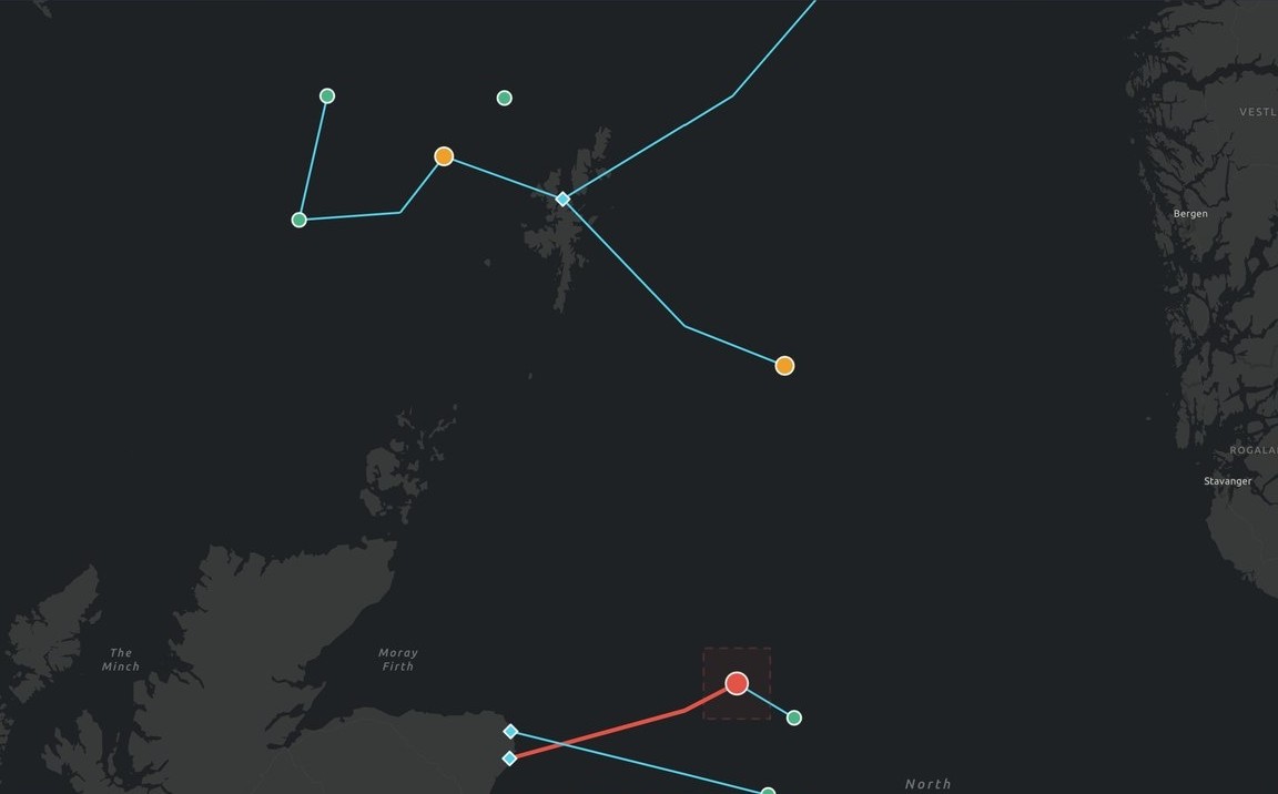
THE MAP · ESRI ARCGIS
EVERY ASSET, ROUTE, AND EXPOSURE - ON REAL GROUND
Live Esri ArcGIS basemap from the working demo - synthetic portfolio, illustrative figures.
Ask about an asset that isn't in the data, a file that can't be verified, a model that doesn't exist - and Nexus declines, lists exactly what it would need to answer properly, and logs the refusal like any other result. Exploration at conversation speed; nothing unvalidated inside a decision.
Cannot verify the requested equipment against any registered source. To answer properly: a datasheet, a certification record, or a validated equivalent. Nothing less will do.
THE REFUSAL IS THE FEATURETry it - it's the first thing our hardest prospects test.
The exposure: what's at risk, how much, and how soon.
The asset itself: what's failing, what it takes down, and when to act.
The trade-off: the cost of acting now against the cost of waiting.
Five minutes live, then a focused 30-day Proof of Value - one use case, your data, a receipt on everything.